Green County - In Real Life?
Real Locations
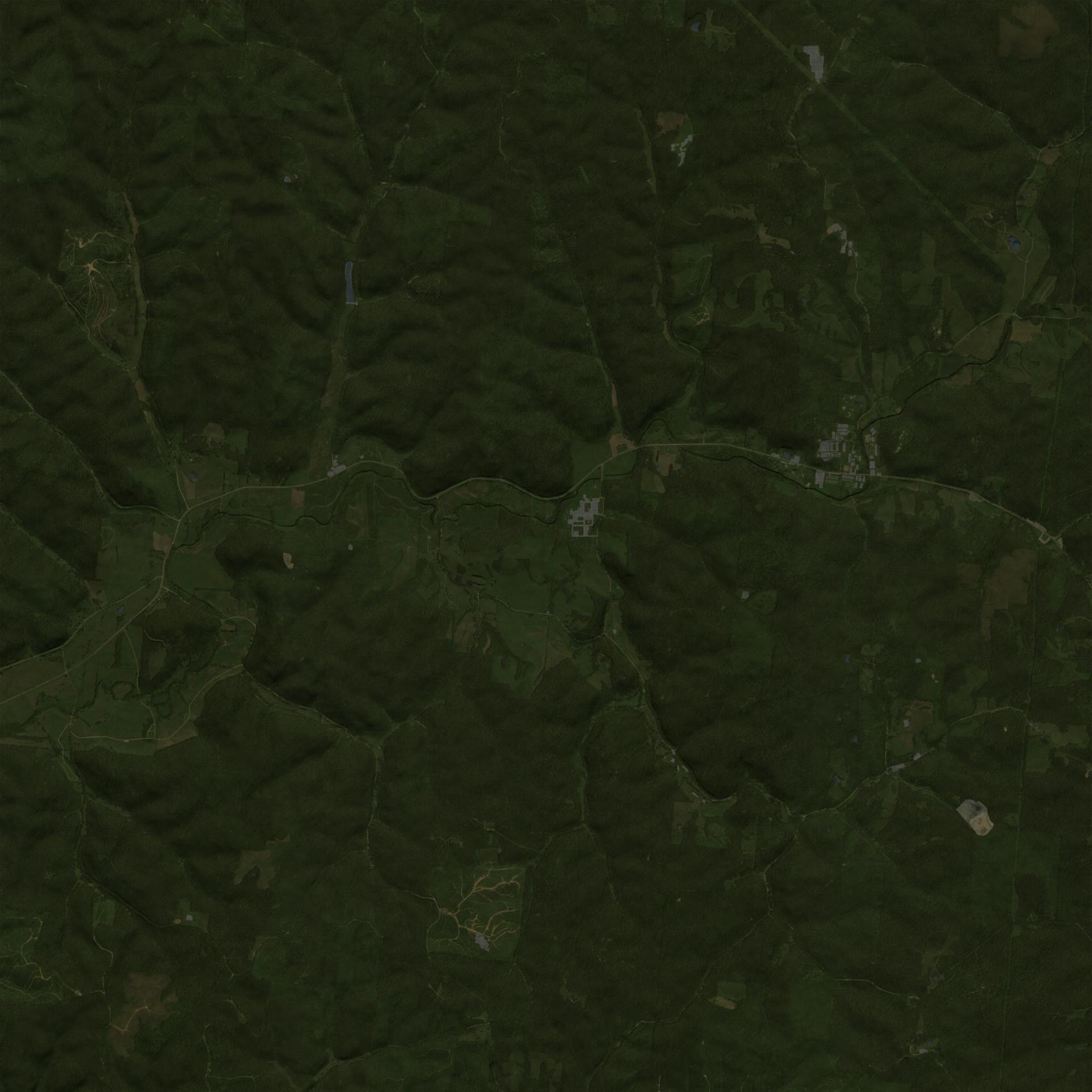
In real life, this map is a small part of the Vinton County - Ohio. In game all the names are not the real, below the list of the real locations
| Before (Google maps) | After (Holly Gimp) |
 |
 |
Towns/Cities
Villages/Settlements
- Addison
- Auberry
- Bedford
- Brimfield
- Burgess
- Clearmont
- Collinsburg
- Deweese
- Dillsboro
- Edesville
- Edgerton
- Galetown
- Green Heights
- Holly Pond
- Lynbrook
- Middlebrook
- Munford
- Old Bennington
- Old Field
- Pierceton
- Stappelton
- Willisburg
Others Locations
- 101st Armory Cavalry Regiment
- Alpha Camp
- Bower's Valley
- Clarsfield's Pond
- Clyde Grove
- Covington Heights
- Cross Creek
- Deer's Cove
- Dillsboro Power Station
- East Lake
- Green Pass Dam
- Johnson's Resort
- Medieval Hill
- National Guard Arsenal
- National Guard Headquarters
- Natural Center
- Pines Field
- Pleasant Hill
- Sawmill
- Willisburg Quarry
Fun Facts
Greene or Green ?
By coincidence, there is a real Greene County in Ohio, I discovered it after starting this project. The fact that this map is called Green County is not a semantic error, but just a true coincidence. The idea was to emphasize the green, rural and forested nature of the map with a name that had to be fictitious.
